
Knowledge
How Accurate Is a LiDAR Scan?
How the measurement in a smartphone works, what affects its accuracy, where the limits of the method lie, and when an on-site survey is the better choice.
A smartphone as a measuring instrument invites justified scepticism — especially when the result is to be submitted to a bank. This page explains how the measurement works, what its accuracy depends on and where the limits of the method lie.
How LiDAR measures
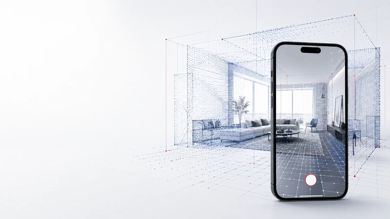
LiDAR stands for "Light Detection and Ranging". The sensor emits infrared light pulses and measures how long they take to return. Time of flight and direction give a distance for each measurement point — repeated thousands of times, this builds a three-dimensional point cloud of the room.
Unlike photographing, then, an actual measurement is taken rather than being extrapolated from images. That is the decisive difference from methods based on photographs alone.
Accuracy in figures
Apple does not state a guaranteed measurement tolerance for the LiDAR sensor, referring generally to high-accuracy depth information. For its own Measure app, Apple recommends a capture distance of roughly 0.5 to 3 metres from clearly identifiable objects. Independent studies therefore provide the orientation:
| Study | Subject | Result |
|---|---|---|
| Luetzenburg et al. (2021), iPhone 12 Pro | Smaller objects from about 10 cm edge length | around ±1 cm absolute accuracy |
| Zaczek-Peplinska & Kowalska (2022), iPhone 13 Pro | Office room and building details, compared against a terrestrial laser scanner | around 1 cm achievable under suitable capture conditions |
Our assessment: under suitable capture conditions, accuracies in the region of ±1 cm are achievable with the LiDAR scanner in current iPhone Pro models. The accuracy actually attained depends on room size, surfaces, capture distance, scanning technique and the software used.
From our own project experience, the deviation in the resulting area, when capturing floor by floor or dwelling by dwelling, is below one per cent overall. This figure comes from our practice, not from the studies cited above.
The wording is deliberately "achievable" and not "guaranteed": capturing a whole room adds movement, position tracking and the merging of individual measurements to the pure sensor reading. Each of these stages can introduce further deviation. A blanket assurance of "centimetre-accurate" would therefore not be sound.
What affects the accuracy
The spread between a very good and an unusable scan is wide — and depends less on the device than on the capture:
- Scanning technique. Steady, slow tracing of all wall surfaces yields far better data than rapid panning.
- Completeness. Corners, recesses and areas behind furniture have to be captured, otherwise they are missing from the analysis.
- Surfaces. Glass, mirrors and highly reflective surfaces return the light pulses unfavourably and can cause erroneous readings.
- Furnishing. Cluttered rooms conceal precisely the wall edges that matter for the area calculation.
- Room size. Over longer distances small deviations can accumulate; very large rooms are more demanding than typical living rooms.
- Lighting. Very bright daylight can impair the infrared measurement.
This is why the mkm|Scan app guides the capture and flags gaps — but care while scanning remains the greatest lever for a good result.
Why a person still does the calculating
A scan is raw data, not a finished document. A point cloud does not reveal by itself where the load-bearing wall ends and the lining begins, whether a room qualifies as habitable under building law, or what proportion of a balcony is to be counted.
Yet it is precisely these decisions that determine the result of a living space calculation. At our office, a member of the team therefore processes the scan, produces the floor plan and checks the calculation before it leaves the building. On request, confirmation by a certified surveyor is added.
Which rules apply is explained on the page Living space calculation under the WoFlV.
When an on-site survey is the better choice
| Situation | Recommendation |
|---|---|
| Conventionally laid out flat or detached house, accessible | Self-scan |
| Rambling period property, many slopes and recesses | On-site survey |
| Property heavily furnished or occupied, walls obstructed | On-site survey |
| Large commercial areas and halls | On-site survey |
| Property far away, appointment hard to coordinate | Self-scan |
| No compatible Apple device available | On-site survey |
Both routes in detail: 3D scan via app and on-site survey.
Frequently asked questions
How accurate is the scan?
Independent studies show that under suitable capture conditions the LiDAR scanner in current iPhone Pro models can achieve accuracies in the region of ±1 cm. That is not an assurance: capturing a whole room adds movement, position tracking and the merging of individual measurements, each of which can introduce further deviation. Room size, surfaces, capture distance and scanning technique are decisive. From our own project experience the deviation in the resulting area, when capturing floor by floor or dwelling by dwelling, is below one per cent overall.
Which devices can record LiDAR scans?
An Apple device with a LiDAR sensor is required, that is, an iPhone Pro or an iPad Pro. Devices without this sensor cannot capture depth information at the necessary quality.
Does the scan replace an on-site survey?
In many cases yes — for conventionally laid out flats and houses with easily accessible rooms. For rambling period properties, heavily furnished premises, very large areas or where building elements are concealed, an on-site survey is the more reliable choice.
What happens if the scan has gaps?
Missing or unclear areas become apparent during processing. We then come back with a specific query rather than estimating. Rescanning the affected room is often enough.
Is the scan converted into a floor plan automatically?
The scan data is the basis, not the result. Every floor plan and every area calculation is produced and checked by a member of our team before it is delivered.
Are scanned documents sufficient for banks?
What matters is not the capture method but the quality and traceability of the finished document. What banks actually look for is set out on the page about bank-ready property documents.
More knowledge pages
These pages are no substitute for legal advice or an assessment of your individual case. For a robust calculation, confirmed by a certified surveyor where required, see our living space calculation or get in touch with us.